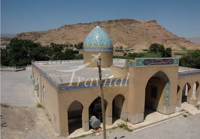
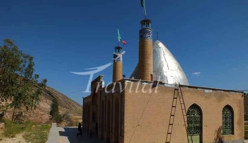
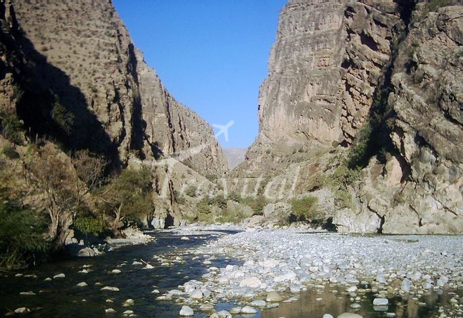
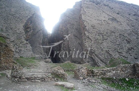
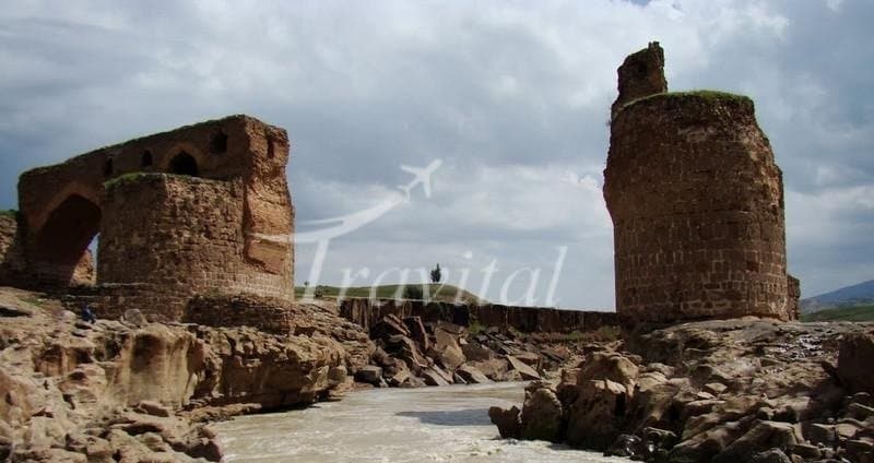
Dareh Shahr
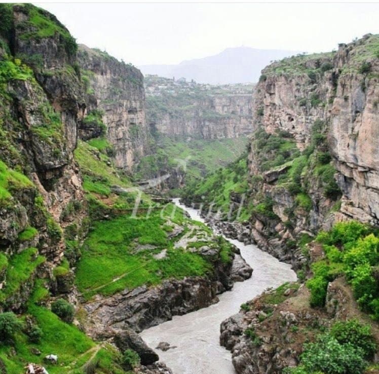
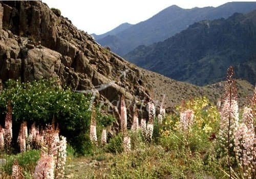
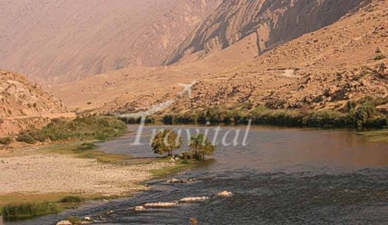
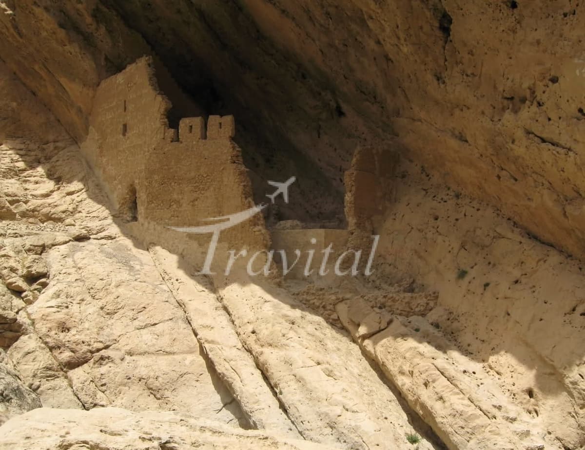
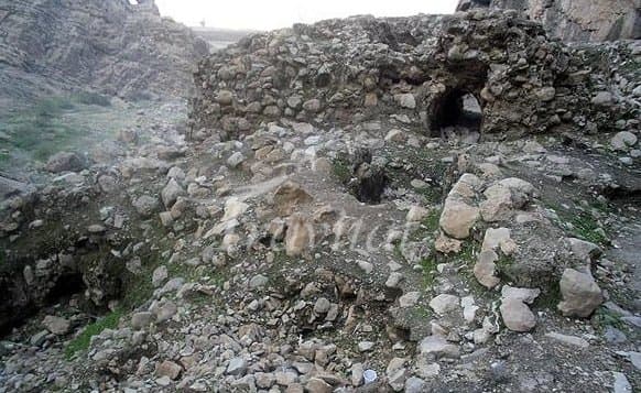
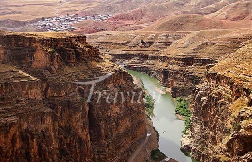
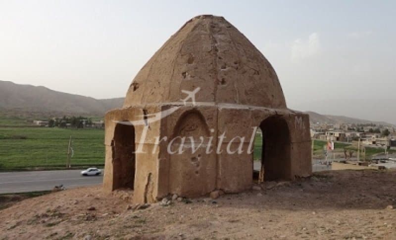
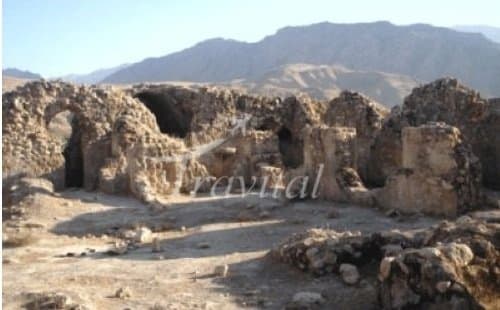
Darreh Shahr is situated at the transition zone between Kabir Kuh foothills and Seymareh River and alongside Darreh Shahr River which flows from Sarab-e Darreh Shahr to Seymareh river through the town. The town lies within the foothills of eastern side of Kabir Kuh. Darreh Shahr experiences cold winters and hot summers. In ancient times, Elamites governed the Lorestan mountains and constructed several strong buildings. Darreh Shahr was the first Elamite city attacked and destroyed by Assyrians in addition to the massacre of people. In Seymareh Valley the remains of the Sassanid monuments are still present; hence Darreh Shahr might have been a thriving city in the Sassanid and the Parthian periods. Furthermore, some foreign experts call the unearthed city as the second and lost capital of the Seleucids while some Iranian archaeologists believe that the monuments are part of the state of Sirvan. Referencing some resources and texts, Darreh Shahr may be the same as Mehr Jaan Ghazagh, Saabzaan, Seymareh or the city of Khosrau II in the late Sassanid period completely leveled to earth from an earthquake in the years 248 and 344 A.H.
Dareh Shahr on Map
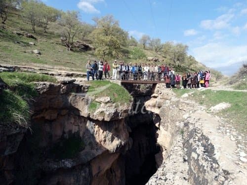
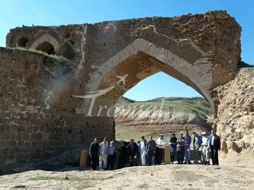
Things to Do and Tourist Attractions in Dareh Shahr
Your Travel Journey Starts Here
Sign up and we'll send the best deals to you